
Time zone UTC-3 (UTC-3) Elevation 23 m | Founded 1872 Area 5,244 km² Local time Wednesday 12:55 AM | |
 | ||
Website www.santavitoria.rs.gov.br Weather 20°C, Wind E at 13 km/h, 89% Humidity | ||
Coisas de santa vit ria do palmar rs
Santa Vitória do Palmar (lit. "Saint Victoria of the Palms") is a municipality in the Brazilian state of Rio Grande do Sul. To the west of the municipality is the Lagoa Mirim and beyond that is Uruguay; to the east is the Atlantic Ocean and to the north is the city of Rio Grande. To the south it borders the municipality of Chuí and Uruguay.
Contents
- Coisas de santa vit ria do palmar rs
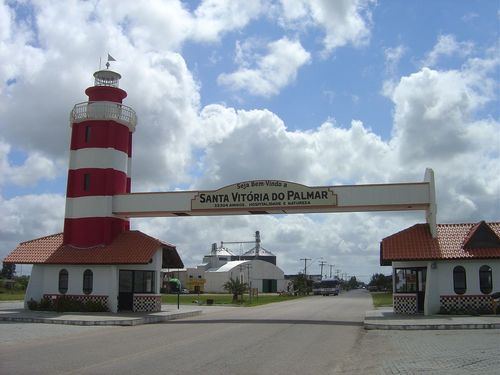
- Map of Santa Vitoria do Palmar Santa VitC3B3ria do Palmar RS Brazil
- Conquistando santa vit ria do palmar
- References
Map of Santa Vitoria do Palmar, Santa Vit%C3%B3ria do Palmar - RS, Brazil
The city proper is located approximately 16 km (9.9 mi) inland from the Atlantic, 8 km (5.0 mi) east of Lagoa Mirim and 20 km (12 mi) north of the Uruguayan border at Chuí. The city is traversed by the Brazilian federal highway BR-471, the most important road link between Brazil and Uruguay. It is 504 km (313 mi) by road from the state capital, Porto Alegre, and about 370 km (230 mi) from Uruguay's capital, Montevideo.
Santa Vitória do Palmar used to be the southernmost city in Brazil, until the former village of Chuí was split from its territory and incorporated as a new city in 1997. However, while the urban seat of Chuí is more southerly, the territory of Santa Vitória do Palmar still extends slightly further south than Chuí's, and contains Brazil's southernmost geographic point, located on a bend of the Chuí River just upstream from its mouth on the Atlantic Ocean, near the village of Barra do Chuí, which also belongs to the municipality.
The municipality lies on a windy coastal plain which is a mosaic of sand dunes, lagoons (Lagoa Mangueira being the largest one), marshland spots and rice farms. This variety of different ecosystems side by side ensures a rich biodiversity, protected in the municipality's northern part in the Taim Ecological Station, shared with Rio Grande. The city's economy is based on rice growing, beef cattle and sheep raised for wool, in addition to being a transit point on BR-471, the main highway linking Brazil and Uruguay.
Santa Vitória do Palmar is a large municipality, about 160 km (99 mi) long North-South. Its coast also includes the larger part of Cassino Beach, the world's longest uninterrupted stretch of sandy ocean shore, over 240 km (150 mi) from the stony breakwaters of Rio Grande in the north to the mouth of Chuí River in the south. Two small beach resort villages are located in the municipality: Praia do Hermenegildo and Barra do Chuí, which is Brazil's southernmost inhabited place.
Four stones from the Santa Vitoria do Palmar meteorite was found near the town in 2003 and 2004.