
Founded 1915 Time zone PST (UTC+8) Local time Wednesday 11:50 AM Neighborhoods Pacifico, Calampan, Mohon | District 3rd District Barangays Area 16.3 km² | |
 | ||
Weather 30°C, Wind SE at 13 km/h, 63% Humidity | ||
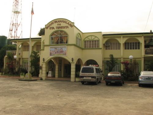
Santa Teresita, officially the Municipality of Santa Teresita (Filipino: Bayan ng Santa Teresita), is a municipality in the province of Batangas in the Calabarzon (Region IV-A) of the Philippines. The population was 21,127 at the 2015 census. In the 2016 electoral roll, it had 12,630 registered voters.
Contents
Map of Santa Teresita, Batangas, Philippines
Geography
Santa Teresita is located at 13°53′N 120°58′E along the southern lakeshore area of Taal Lake. Its boundaries are San Nicolas in the north, San Luis on the south, Taal on the west and Taal Lake on the northeast.
According to the Philippine Statistics Authority, the municipality has a land area of 16.30 square kilometres (6.29 sq mi) constituting 6999520000000000000♠0.52% of the 3,119.75-square-kilometre- (1,204.54 sq mi) total area of Batangas.
Barangays
Santa Teresita is politically subdivided into 17 barangays, with 3 classified as urban and 14 as rural
Demographics
In the 2015 census, Santa Teresita had a population of 21,127. The population density was 1,300 inhabitants per square kilometre (3,400/sq mi).
In the 2016 electoral roll, it had 12,630 registered voters.