
Founded October 11, 1957 Time zone PET (UTC-5) Elevation 1,550 m | Region Cusco Capital Santa Teresa UBIGEO 080908 Area 1,340 km² | |
 | ||
Santa teresa district rio de janeiro
Santa Teresa District is one of ten districts of the La Convención Province in the Cusco Region of Peru.
Contents
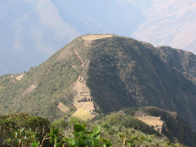
Santa Teresa, Peru is situated 6.5 km northwest of Machu Picchu and is at the axis of several important routes leading to this archeological centre, including alternative paths ways to the ruins (previously the railway was the only means of reaching Machu Picchu). In 1998, a landslide completely buried the town and destroyed the bridge that connected it to Machu Picchu and Cusco, however the bridge has subsequently been rebuilt.
Geography
The Willkapampa mountain range traverses the district. One of the highest peaks of the district is Kiswar at 5,771 m (18,934 ft). Other mountains are listed below:
References
Santa Teresa District Wikipedia(Text) CC BY-SA