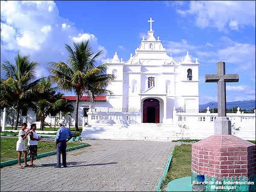
Lowest elevation 702 ft (214 m) Area 2,295 km² Municipalities 14 | Department Santa Rosa Highest elevation 4,360 ft (1,330 m) Time zone -6 Local time Tuesday 9:18 PM | |
 | ||
Weather 21°C, Wind N at 6 km/h, 66% Humidity Points of interest Parque Hawaii, EMBARCADERO LA AVELLANA, Templo Minerva, Lagunas de Monterric, Parque | ||
Santa Rosa ([ˈsanta ˈrosa]) is a department in Guatemala. The capital is Cuilapa.
Contents
Map of Santa Rosa Department, Guatemala
1913 earthquake
On Saturday 8 March 1913 and magnitude 6.4 earthquake hit Santa Rosa, destroying its department capital, Cuilapa. Both the initial quake and the replicas destroyed a lot of private homes, and also the cathedral and the prison, leaving behind significant human losses; similar destruction occurred at Barberena, Cerro Redondo, Llano Grande and El Zapote. Fraijanes, Pueblo Nuevo Viñas, Coatepeque and Jalpatagua were also affected. Around Cuilapa, there were landslides and road blockades, and even a long crack was reported at Los Esclavos hill.
Municipalities
- Barberena
- Casillas
- Chiquimulilla
- Cuilapa
- Guazacapán
- Nueva Santa Rosa
- Oratorio
- Pueblo Nuevo Viñas
- San Juan Tecuaco
- San Rafael Las Flores
- Santa Cruz Naranjo
- Santa María Ixhuatán
- Santa Rosa de Lima
- Taxisco
References
Santa Rosa Department, Guatemala Wikipedia(Text) CC BY-SA
