
Time zone Central Time (UTC+6) Elevation 498 m | Climate Am Area 426 km² | |
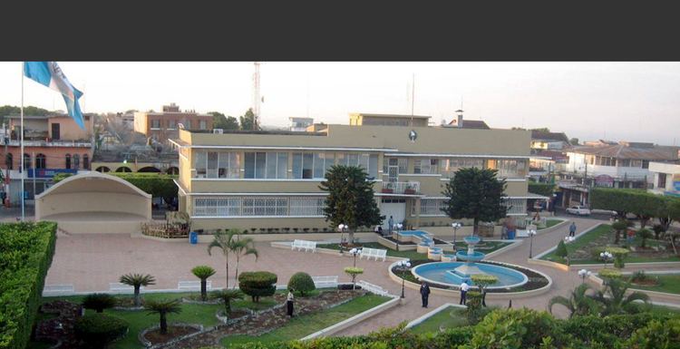 | ||
Coatepeque ([koateˈpeke]) is a municipality in the Quetzaltenango department of Guatemala. According to the 2002 census, it had a population of 41.294.
Contents
Map of Coatepeque, Guatemala
Archaeology
Takalik Abaj is nearby.
Sports
Deportivo Coatepeque football club play in the Liga Nacional -the Major National League- of Guatemalan Football. The Serpientes Rojas -est. 1967- play their home games in the Israel Barrios Stadium (capacity 24,000, natural grass turf)
Climate
Coatepeque has a tropical monsoon climate (Köppen: Am).
Geographic location
Coatepeque urban area has 22 neighborhood and its rural area has 15 middle size villages and 25 small size ones.
References
Coatepeque, Quetzaltenango Wikipedia(Text) CC BY-SA