Elevation 59 m Local time Tuesday 10:13 PM | Time zone Central (CST) (UTC-6) Zip code 32459 | |
 | ||
Weather 20°C, Wind W at 10 km/h, 98% Humidity | ||
81 coquina place crescent caye santa rosa beach florida 32459
Santa Rosa Beach is an unincorporated community in Walton County, Florida, United States. It belongs to the Fort Walton Beach-Crestview-Destin, Florida Metropolitan Statistical Area.
Contents
- 81 coquina place crescent caye santa rosa beach florida 32459
- Map of Santa Rosa Beach FL 32459 USA
- A magnet for fine living in santa rosa beach florida
- Location
- References
Map of Santa Rosa Beach, FL 32459, USA
A magnet for fine living in santa rosa beach florida
Location
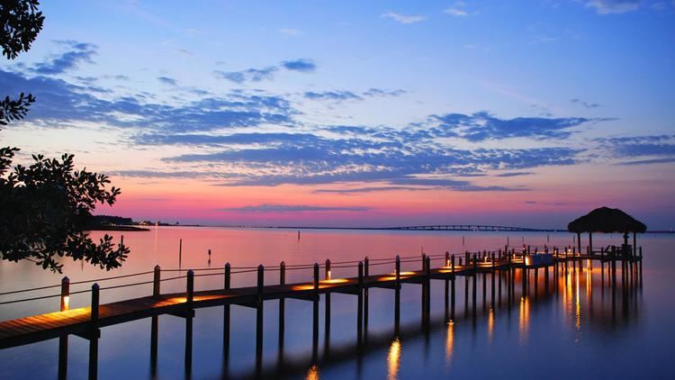
Santa Rosa Beach is located on the Emerald Coast, between Laguna Beach and Destin. It lies north of U.S. Route 98, on the southern shores of the Choctawhatchee Bay, more precisely on Hogtown Bayou.
Although not incorporated, the community has a specific zip code, 32459, which also includes the closest communities: to the east Point Washington, to the southeast Grayton Beach and Seaside, and to the west Miramar Beach.
Overall, this zip code covers a land area of 65 square miles (plus 0.82 square miles of water area) for a population of 11,457 (4,831 households) according to the 2010 census.
