Time zone UTC -3 Dial plan +598 4313 (+4 digits) Local time Wednesday 12:38 AM | Postal code 90500 Population 3,727 (2011) | |
 | ||
Weather 19°C, Wind E at 14 km/h, 83% Humidity | ||
Santa Rosa is a small city in the Canelones Department of southern Uruguay.
Contents
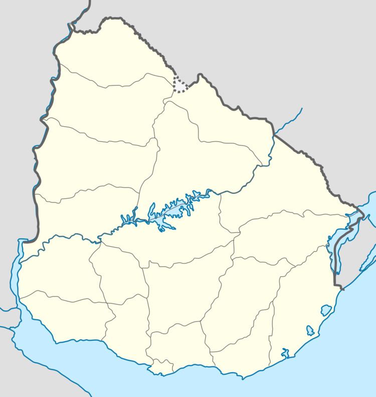
Map of Santa Rosa, Canelones Department, Uruguay
Santa Rosa is also the name of the municipality to which the city belongs.
Location
The city is located on Km. 51 of Route 6, only 1 kilometre (0.62 mi) northeast of its intersection with Route 11 and 24 kilometres (15 mi) east of Canelones, the capital city of the department. Other nearby towns are: San Bautista 10.5 kilometres (6.5 mi) to the northeast, San Antonio 8 kilometres (5.0 mi) to the northwest, San Jacinto 18.5 kilometres (11.5 mi) to the east and Sauce 18 kilometres (11 mi) to the south.
History
It was declared a "Pueblo" (village) by Decree of 19 August 1879. On 15 May 1925 its status was elevated to "Villa" (town) by the Act of Ley Nº 7.837, and then on 29 August 1972 to "Ciudad" (city) by the Act of Ley Nº 14.081.
Population
According to the 2011 census, Santa Rosa had a population of 3,727. In 2010, the Intendencia de Canelones had estimated a population of 7,749 for the municipality during the elections.
Source: Instituto Nacional de Estadística de Uruguay
