
Topo map USGS Santa Rita Peak | Elevation 1,560 m | |
 | ||
People also search for San Benito Mountain, Black Mountain, San Carlos Peak, Tierra Redonda Mountain, Laveaga Peak | ||
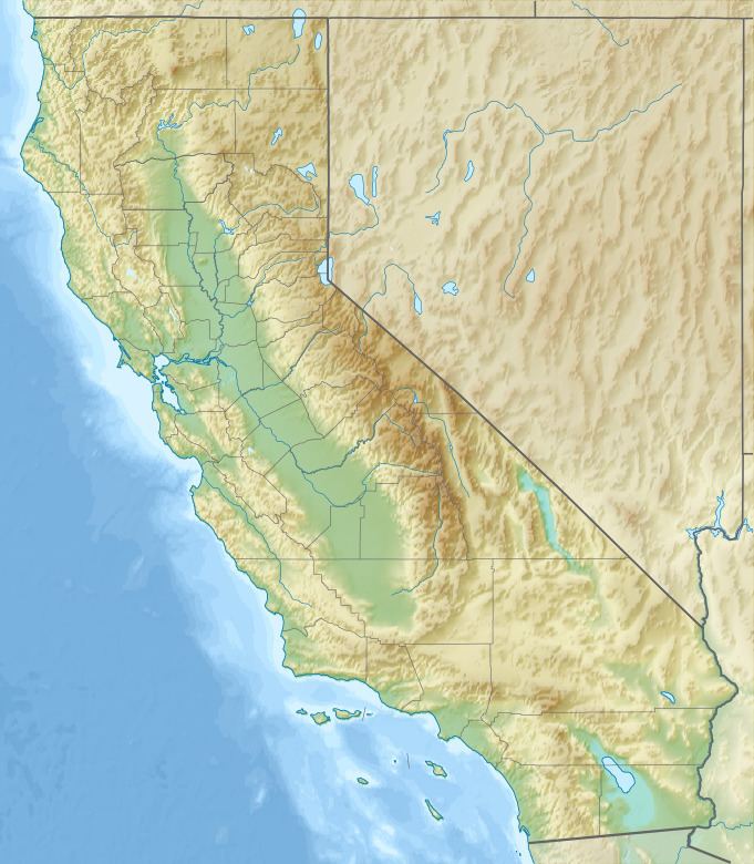
Santa Rita Peak is a mountain located in the Diablo Range of California in San Benito County, a shorth distance to the west of the Fresno County line and 3 miles (5 km) southeast of San Benito Mountain. Cantua Creek has its source on its northern slope. The San Benito River has its source on its southeastern slopes.
Map of Santa Rita Peak, California 95043, USA
References
Santa Rita Peak Wikipedia(Text) CC BY-SA