
Topo map USGS Mariposa Peak Prominence 565 m | Elevation 1,159 m | |
 | ||
Similar Mount Stakes, San Benito Mountain, Mount Boardman, Discovery Peak, Mount Ingalls | ||
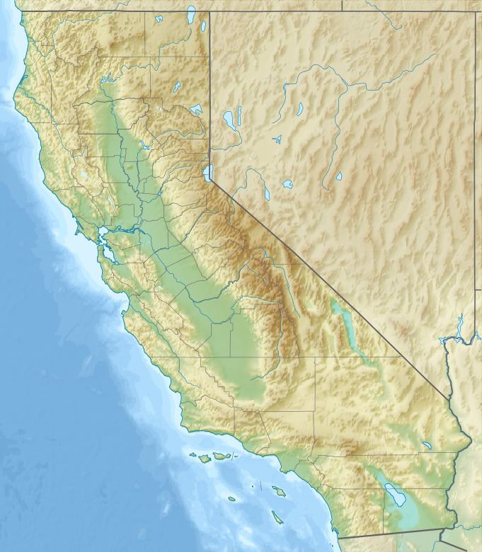
Laveaga Peak is a mountain located in the Diablo Range in California. Its summit rises to an elevation of 3,804 feet (1,159 m). The peak is on the boundary between Merced County and San Benito County and is the highest point in Merced County. The mountain is high enough to receive some snowfall during winter.
Map of Laveaga Peak, California 95023, USA
References
Laveaga Peak Wikipedia(Text) CC BY-SA