
Elevation 316 m Local time Wednesday 1:49 AM | Website www.montbui.cat Area 27.6 km² Population 9,641 (2014) | |
 | ||
Demonym(s) Montbuienc, montbuienca Weather 9°C, Wind W at 6 km/h, 90% Humidity | ||
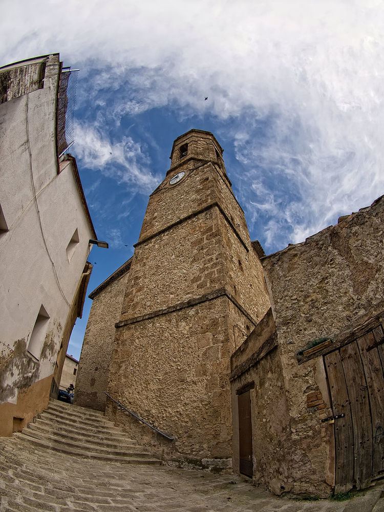
Santa Maragarida de Montbui is a municipality in the comarca of the Anoia in Catalonia, Spain. It is situated in the Òdena Basin, immediately to the west of Igualada of which it effectively forms a suburb. The ajuntament (town hall) is in Sant Maure. Other neighbourhoods in Montbui are the Old Town, el Saió-Coll del Guix and La Mallola.
Contents
Map of Santa Margarida de Montbui, Barcelona, Spain
Demography
Montbui has received a huge immigration in the late fifties.
Geography
The most famous mountain in Santa Margarida de Montbui is called La Tossa. It has an altitude of 650 m. La Tossa mountain belongs to the serra de Miralles-Queralt range.In this mountain there is a Romanesque chapel devoted to Virgin Mary and dating back to the 11th century.
The Anoia river borders Santa Margarida de Montbui to the South and separates this municipality from Igualada.
Education and Culture
In Montbui there are three primary education schools (Montbou, García Lorca and Antoni Gaudí) and a secondary school (Institut Montbui)
Some of the cultural centres in Montbui are La Vinícola (Sant Maure) and the Ateneu Cultural i Recreatiu (Old town).