
Country Spain Time zone CET (UTC+1) Area 66.5 km² | Judicial district Vinaròs Elevation 123 m Local time Wednesday 1:48 AM | |
 | ||
Demonym(s) Magdalener, Magdalenera Weather 14°C, Wind NW at 10 km/h, 56% Humidity | ||
Sergi bous presentava les festes de santa magdalena de polp s
Santa Magdalena de Polpís ([ˈsanta maɡdaˈlena ðe poɫˈpis], Spanish: Santa Magdalena de Pulpis) is a town and municipality in the Baix Maestrat comarca, province of Castelló, Valencian Community, Spain.
Contents
- Sergi bous presentava les festes de santa magdalena de polp s
- Map of 12597 Santa Magdalena de PolpC3ADs CastellC3B3n Spain
- Santa magdalena de polp s encara el final de festes 2015
- History
- References
Map of 12597 Santa Magdalena de Polp%C3%ADs, Castell%C3%B3n, Spain
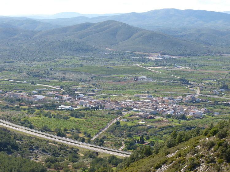
The town is located inland in a flat valley between the two mountain ranges of Serra d'Irta and Serra de les Talaies. It is a rural dryland farming town with only marginal industrial activity, where the main cultivation is olive, almond and carob trees, as well as some orange trees in irrigated patches. There is no river in the valley, instead the water emerges in natural ponds known as basses.
The main celebration in Santa Magdalena de Polpís is the Festes patronals in honor of Saint Mary Magdalene.
Santa magdalena de polp s encara el final de festes 2015
History
Like neighboring Alcalà de Xivert its castle was an important bulwark in Moorish times and a village developed at the feet of the castle, eventually giving origin to the present-day town.
Santa Magdalena de Polpís suffered much during the Spanish Civil War (1936–1939) when the fascist troops tried to split the Spanish Republican government territory in two and reach the Mediterranean coast cutting across the Talaies.