
Area 76.55 km² | Local time Tuesday 6:39 PM | |
 | ||
Time zone Central Standard Time (UTC-6) Weather 27°C, Wind N at 26 km/h, 13% Humidity | ||
Galdino huerta cumple con hechos en santa luc a del camino
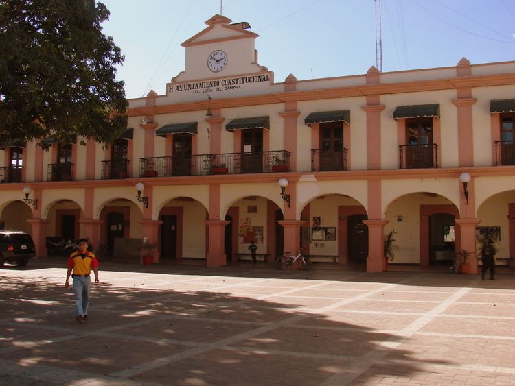
Santa Lucía del Camino is a city and its surrounding municipality located in the central part of the Mexican state of Oaxaca. It lies just 3 km east of the state capital city of Oaxaca, within the Oaxaca metropolitan area. It is part of the Centro District in the Valles Centrales region.
Contents
- Galdino huerta cumple con hechos en santa luc a del camino
- Map of Santa LucC3ADa del Camino Oaxaca Mexico
- References
Map of Santa Luc%C3%ADa del Camino, Oaxaca, Mexico
The city of Santa Lucía del Camino had a 2005 census population of 42,570 and serves as the municipal seat of the municipality of Santa Lucía del Camino, which has an area of 7.65 km² (2.95 sq mi) and a population of 45,752. The only other community in the small municipality is the town of San Francisco Tutla (population 3,182). The city is the seventh-largest community in the state of Oaxaca in population.
As municipal seat, Santa Lucia del Camino has governing jurisdiction over the village of San Francisco Tutla as well as itself.