
Country Ecuador Time zone ECT (UTC-5) Website www.santaelena.gob.ec | Established November 7, 2007 Vehicle registration Y Area 3,690 km² Area code 4 | |
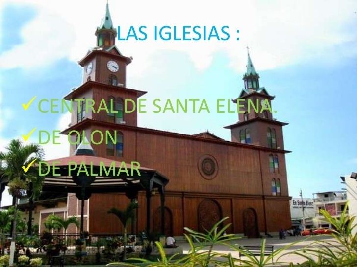 | ||
Points of interest Mirador Turístico "Cerro El, MUSEO CASA LEON, PARQUE SINDICATO DE SALES, Parque Central Vicente R, PLAZOLETA CENTRAL Destinations Salinas, Montañita, Ruta del Spondylus, Ayangue, La Libertad - Ecuador | ||
Driving around salinas santa elena province ecuador
The Province of Santa Elena is a province of Ecuador in the coastal region. Created in 2007 from territory that belonged to the Guayas Province, it is one of the two newest provinces of Ecuador, along with Santo Domingo de Los Tsáchilas. Its capital city is Santa Elena, from which the province derives its name.
Contents
- Driving around salinas santa elena province ecuador
- Map of Santa Elena Province Ecuador
- Political division
- Demographics
- References
Map of Santa Elena Province, Ecuador
Political division
The province is divided into three cantons. The following table lists each with its population at the 2001 census, its area in square kilometres (km²), and the name of the canton seat or capital.
Demographics
Ethnic groups as of the Ecuadorian census of 2010:
References
Santa Elena Province Wikipedia(Text) CC BY-SA