
Founded 3 May 1721 | Local time Tuesday 5:11 PM | |
 | ||
Weather 29°C, Wind NE at 23 km/h, 11% Humidity | ||
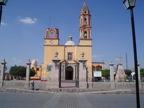
Vistas de santa cruz de juventino rosas a o 1998
Santa Cruz de Juventino Rosas is a Mexican city (and municipality) located in the central east region of the state of Guanajuato. The municipality has an area of 428.64 square kilometres (1.40% of the surface of the state) and is bordered to the north by San Miguel de Allende, to the northeast by Comonfort, to the southeast by Celaya, to the south by Villagrán, and to the west by Salamanca. The municipality had a population of 65,479 inhabitants according to the 2005 census.
Contents
- Vistas de santa cruz de juventino rosas a o 1998
- Map of Santa Cruz de Juventino Rosas Guanajuato Mexico
- Desfile guadalupano 2016 santa cruz de juventino rosas
- References
Map of Santa Cruz de Juventino Rosas, Guanajuato, Mexico
Santa Cruz received its name 1719 and by order of Spanish viceroy Baltazar de Zúñiga was given the status of village in 1721. Its current name of Santa Cruz de Juventino Rosas was adopted in 1939 in honor of Juventino Rosas, a Mexican composer, violinist, and band leader who was born in the town.
The municipal president of Santa Cruz de Juventino Rosas and its many smaller outlying communities is Juan Antonio Acosta Cano.
The main outlying communities in the municipality are Santiago Cuenda, Rincón de Centeno, Morales, and Franco Tavera.