
Founded 1609 Demonym(s) Santa Cruzin Area code 42 Dialling code 42 | Region MIMAROPA Barangays Area 270.8 km² | |
 | ||
Neighborhoods Haguimit, Baliis, Kaganhao, Jolo, Aturan, Tagum | ||
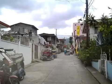
Santa cruz marinduque the philippines tour 2010
Santa Cruz is a first class municipality in the province of Marinduque, Philippines. According to the 2010 census, it had a population of 55,673 people.
Contents
- Santa cruz marinduque the philippines tour 2010
- Map of Santa Cruz Marinduque Philippines
- Visit maniwaya island in santa cruz marinduque
- Barangays
- History
- Transportation
- Twin townscities
- References
Map of Santa Cruz, Marinduque, Philippines
Visit maniwaya island in santa cruz marinduque
Barangays
Santa Cruz is politically subdivided into 55 barangays. In 1957 the sitio of Kalangkang, barrio of Kasily, was converted into a barrio.
History
In 1942, Japanese imperial forces entered and occupied the town of Santa Cruz.
In 1945, at the beginning of the Battle of Marinduque, Filipino troops of the 5th Infantry Division of the Philippine Commonwealth Army came to Santa Cruz together with the guerrilla units of the Marinduque Revolutionary Army. Marinduque fought the battles against attacks from the Japanese imperial forces in the Second World War.
Republic Act No. 204, approved May 28, 1948, converted the sitios of Angas of the barrio of Tagum, Biga of the barrio of Alobo, Kamandungan of the barrio of Lusok, Kilokilo of the barrio of San Antonio, and Makulapnit of the barrio of Devilla to regular and independent barrios.
In 1953, the sitio of Baguidbirin was converted into a barrio.
Transportation
Access to the municipality: