
Elevation 337 m Population 7,786 (Jun 2013) | Postal code 51002 Area 257.7 km² | |
 | ||
Santa Cecilia District is a district and village in the canton of La Cruz, Guanacaste Province in Costa Rica.
Contents
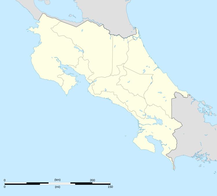
Map of Guanacaste Province, Santa Cecilia, Costa Rica
The district has a population of around 7,800 people.
Villages
Administrative center of the district is the village of Santa Cecilia.
Other villages in the district are Armenia, Belice, Bellavista, Brisas, Caoba, Esperanza, Flor del Norte, Lajosa, Marías, Palmares, San Antonio, San Cristóbal, San Rafael, San Vicente, Santa Elena, Sardina, and Virgen.
References
Santa Cecilia District Wikipedia(Text) CC BY-SA