
Founded November 20, 1596 Local time Tuesday 4:08 PM | Elevation 690 m (2,260 ft) Population 268,347 (2010) | |
 | ||
Time zone Central Standard Time (UTC-6) Weather 30°C, Wind E at 11 km/h, 37% Humidity Colleges and Universities Universidad Tecnológica Santa Cat, Centro de Estudios Superiore, Monterrey Institute of Technolo, TecMilenio University - Santa Cat | ||
Chemtrails santa catarina nuevo le n m xico
Santa Catarina is a city in Santa Catarina Municipality in the state of Nuevo León, Mexico that is part of the Monterrey Metropolitan area.
Contents
- Chemtrails santa catarina nuevo le n m xico
- Map of Santa Catarina Nuevo LeC3B3n Mexico
- History
- Geography
- Natural areas
- References
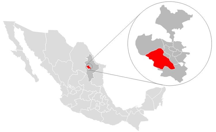
Map of Santa Catarina, Nuevo Le%C3%B3n, Mexico
History
The name of this city comes from the Catholic Saint Catherine of Alexandria. The city of Santa Catarina was not "founded" in a traditional manner; at the beginning, it was only a resting point for travelers between Monterrey and Saltillo. The first recorded name was "Estancia de Santa Catarina" (Shelter of Santa Catarina).
During the French Invasion of Mexico in the second half of the 19th century, the president Benito Juárez spent some days in Santa Catarina while traveling to Monterrey, and it was during this time that he elevated its status to Village. The category of Village was maintained until 1979 when the state government elevated its status to City.
Geography
Santa Catarina is located about 15 kilometers southwest of central Monterrey. As of the Mexican census of 2005, its population was 259,202 in the city and 259,896 in the municipality. The city and municipality both rank sixth in population in the state. The municipality has an area of 984.5 km² (380.12 sq mi) and includes numerous very small localities outside of the city itself.
Natural areas
Most of the National Park Cumbres of Monterrey, including the canyon of La Huasteca is located within Santa Catarina.
Also a certain portion of Cerro de las Mitras is located in Santa Catarina.