
Country Italy Comune Ceraso Demonym(s) Barbaresi Local time Tuesday 10:38 PM Postal code 84052 Dialling code 0974 | Region Campania Elevation 275 m (902 ft) Time zone CET (UTC+1) Province Province of Salerno Population 1,000 (2005) | |
 | ||
Weather 14°C, Wind NW at 8 km/h, 74% Humidity | ||
Cilento santa barbara ceraso festa dei rioni 2011 1 a parte
Santa Barbara is an Italian village and hamlet (frazione) of the commune of Ceraso in the Province of Salerno, Campania. It has a population of roughly a thousand.
Contents
- Cilento santa barbara ceraso festa dei rioni 2011 1 a parte
- Map of 84052 Santa Barbara Province of Salerno Italy
- Cilento santa barbara ceraso tra la montagna e il mare 2 classic
- History
- Geography
- References
Map of 84052 Santa Barbara, Province of Salerno, Italy
Cilento santa barbara ceraso tra la montagna e il mare 2 classic
History
The village was founded around the year 1005. It counts a little castle, ancient seat of the local marquesses Ferolla.
Geography
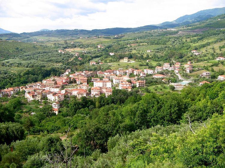
Santa Barbara is located in the middle of Cilento and transcluded into its national park, 3 km south of Ceraso, on the provincial road from Vallo della Lucania to Ascea, and nearby the green area of Gelbison mountain. It counts a little locality named Isca nearby the little river Fiumarella.
The village is 7 km far from Vallo della Lucania, 16 from Ascea, 18 from Velia, and almost 80 from Salerno. Nearby the town of Ceraso there is an exit of a modern carriageway, rapid variation on national road SS 18, which runs from Salerno to Sapri through Battipaglia, Paestum, Agropoli, Vallo della Lucania, Centola and Policastro.