
municipality Santa Ana Maya C.P 58900 MX-MICH Local time Tuesday 3:23 PM | HDI (2007) 0.8536 - high Area 102 km² | |
 | ||
Website anamaya.net/ santa anamaya.net Weather 29°C, Wind N at 3 km/h, 14% Humidity | ||
Gobernador silvano aureoles conejo asiste a primer informe del ayuntamiento de santa ana maya primer
Santa Ana Maya Municipality is one of the municipalities of Michoacán, bordering on the state of Guanajuato and Lake Cuitzeo.
Contents
- Gobernador silvano aureoles conejo asiste a primer informe del ayuntamiento de santa ana maya primer
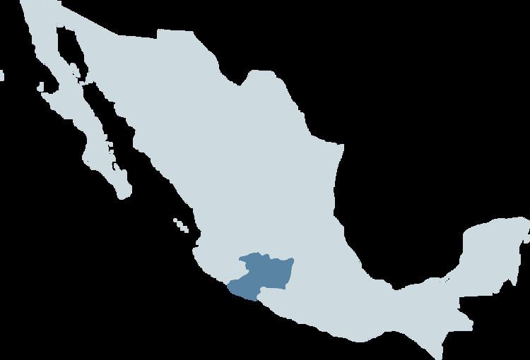
- Map of Santa Ana Maya MichoacC3A1n Mexico
- History
- Localities
- References
Map of Santa Ana Maya, Michoac%C3%A1n, Mexico
History
Santa Ana Maya's population origins are pre-Hispanic. The ancient name of Santa Ana Maya: Mayao, is but a syncopation of Mayapequaro "Market Place" as ... It is quite possible then that Santa Ana Maya out instead of barter between Purépecha and Otomi. Santa Ana Maya's more important headings of capital are, remittances, farming, carpentry, and others with less importance. Its main attractions are the two fairs, one is celebrated on the month of February(9 to 19), and the other is on the month of July (17 to 26).
Mayor Ygnacio López Mendoza was murdered in November 2013.
Localities
Several small towns pertain to it: Huacao, La Lobera, Rancho Nuevo, El Cuervo, La Ladera, Potzundareo, San Rafael, El Toronjo, La Mesa Rica, La Colonia, and the largest is the town of Santa Ana Maya.