
Comarca Alt Empordà Elevation 51 m Local time Tuesday 9:20 PM | Website www.santmori.cat Area 7.5 km² Population 177 (2014) | |
 | ||
Demonym(s) santmorienc / santmorienca Weather 12°C, Wind N at 8 km/h, 77% Humidity | ||
Sant Mori is a municipality in the comarca of Alt Empordà, Girona, Catalonia, Spain.
Contents
Map of 17467 Sant Mori, Province of Girona, Spain
Situated on the right bank of the river Fluvià, it is limited on the north by Sant Miquel de Fluvià, on the east by Ventalló, on the south by Saus and on the west by Palau de Santa Eulàlia.
The economy is based on agriculture and animal husbandry, it has a small electricity generator and tourism is becoming more important.
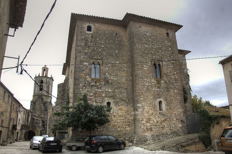
Sant Mori was a barony in the 15th century and in 1893 it became a marquisate. The regent queen Juana Enríquez and her son Ferdinand II of Aragon spent some days in the castle of Sant Mori at the height of the war against John II of Aragon. There the Parliament of the Corts Catalanes were invoked on October 1466.
Places of interest
References
Sant Mori Wikipedia(Text) CC BY-SA