
Local time Wednesday 1:41 AM | Website Official website Administrative division Basti division | |
 | ||
Major highways Rajesultanpur-Mehdawal HWY Weather 19°C, Wind E at 3 km/h, 74% Humidity Lok sabha constituency Sant Kabir Nagar (Rajesultanpur,Alapur, Khajni, Mehdawal) | ||
Sant Kabir Nagar district is one of the 75 districts of Uttar Pradesh state in northern India. Khalilabad city is the district headquarters. Sant Kabir Nagar district is a part of Basti division.
Contents
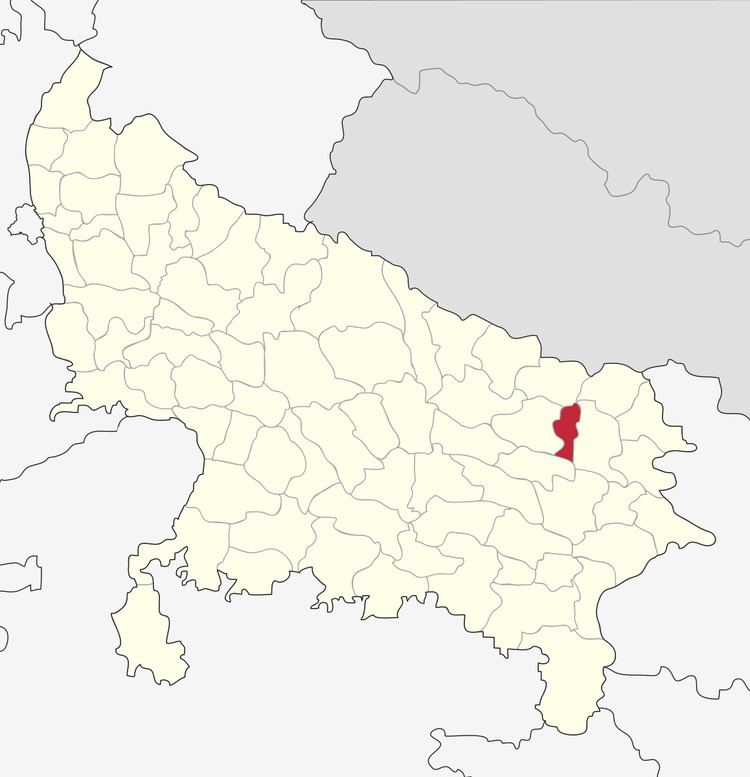
Map of Sant Kabir Nagar, Uttar Pradesh
Economy
In 2006 the Ministry of Panchayati Raj named Sant Kabir Nagar one of the country's 250 most backward districts (out of a total of 640). It is one of the 34 districts in Uttar Pradesh currently receiving funds from the Backward Regions Grant Fund Programme (BRGF).
Demographics
According to the 2011 census Sant Kabir Nagar district has a population of 1,714,300, roughly equal to the nation of The Gambia or the US state of Nebraska. This gives it a ranking of 283rd in India (out of a total of 640). The district has a population density of 1,041 inhabitants per square kilometre (2,700/sq mi) . Its population growth rate over the decade 2001-2011 was 20.71%. Sant Kabir Nagar has a sex ratio of 969 females for every 1000 males and a literacy rate of 69.01%. As per 2001 census, Muslims account for nearly 24% of the districts population, the remaining being Hindus.