
Dialing code 0874 Local time Tuesday 10:08 PM Dialling code 0874 | Time zone CET (UTC+1) Area 67.8 km² Postal code 86048 | |
 | ||
Weather 11°C, Wind S at 6 km/h, 81% Humidity | ||
Sant elia a pianisi promo
Sant'Elia a Pianisi is a comune (municipality) in the Province of Campobasso in the Italian region Molise, located about 20 kilometres (12 mi) northeast of Campobasso. As of 31 December 2004, it had a population of 2,178 and an area of 67.8 square kilometres (26.2 sq mi).
Contents
- Sant elia a pianisi promo
- Map of 86048 SantElia a Pianisi Province of Campobasso Italy
- Sant elia a pianisi il borgo rivive con la notte dei briganti
- References
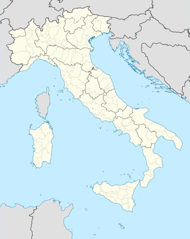
Map of 86048 Sant'Elia a Pianisi Province of Campobasso, Italy
Sant'Elia a Pianisi borders the following municipalities: Bonefro, Carlantino, Colletorto, Macchia Valfortore, Monacilioni, Ripabottoni, San Giuliano di Puglia.
Near Sant'Elia are the ruins of the mediaeval Castello di Pianisi, first mentioned in documents of the second half of the thirteenth century. It is not known how or when the castle was destroyed.:433
Sant elia a pianisi il borgo rivive con la notte dei briganti
References
Sant'Elia a Pianisi Wikipedia(Text) CC BY-SA