
Admin. region Freiburg Time zone CET/CEST (UTC+1/+2) Local time Tuesday 7:23 PM | Elevation 895 m (2,936 ft) Population 1,915 (31 Dec 2008) Postal code 79274 | |
 | ||
Weather 5°C, Wind NW at 14 km/h, 90% Humidity Points of interest Kloster St. Märgen, Thurnerspur, Heimatmuseum | ||
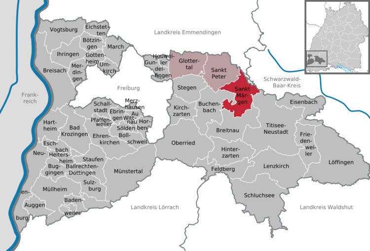
Sankt Märgen is a German municipality in the middle of the Black Forest, which belongs to the district of Breisgau-Hochschwarzwald. The Kurort (spa town) is located around 25 km north of Freiburg im Breisgau.
Contents
- Map of Sankt MC3A4rgen Germany
- Rossfest sankt m rgen 2016 marbacher hengste
- Geographical location
- Municipal Arrangement
- History
- Mayors
- Sister cities
- References
Map of Sankt M%C3%A4rgen, Germany
Rossfest sankt m rgen 2016 marbacher hengste
Geographical location
Sankt Märgen is located on a mountain spur. The village territory extends from the Thurner Plateau in the south to the eastern foothills of Kandel to the north, which are between 570 and 1132 meters high. To the east and west its boundaries are marked by deep valleys.
Municipal Arrangement
Around half the residents live in the village proper. The rest are strewn across the surrounding countryside.
History
Between 1115 and 1118 the Augustinian monastery of Maria-Zell auf dem Schwarzwald was established by Count Bruno von Haigerloch-Wiesneck, Chancellor of Henry V and Provost of Straßburg, as competition to the Zähringen-founded Benedictine monastery of St. Peter auf dem Schwarzwald. The town and the monastery were dependent upon each other for many years. In 1716 a two-steepled Baroque monastery church was built, and the life of the community underwent a revival, until 1806 when the monastery was given up.