
Area codes 03456, 03457, 03185 Area 20.6 km² Population 1,752 (1 Apr 2009) | Time zone CET (UTC+1) Elevation 356 m Local time Tuesday 7:02 PM | |
 | ||
Postal codes 8444, 8441, 8442, 8443, 8505, 8521, 8522 Weather 15°C, Wind NE at 6 km/h, 63% Humidity | ||
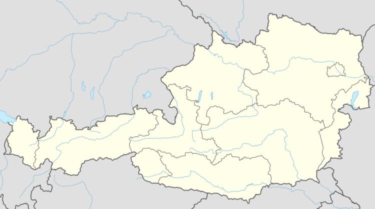
Sankt Andrä-Höch is a municipality in the district of Leibnitz in the Austrian state of Styria.
Contents
Map of 8444 Sankt Andr%C3%A4-H%C3%B6ch, Austria
Geography
Sankt Andrä-Höch lies about 35 km south of Graz and abouth 15 km west of Leibnitz.
References
Sankt Andrä-Höch Wikipedia(Text) CC BY-SA