
Country India Language spoken Tamil | State Tamil Nadu | |
Sankagiri or Sankari is a panchayat town in Salem district in the Indian state of Tamil Nadu. It is situated on the National Highway 47, on the Coimbatore - Salem section.
Contents
- Map of Sankagiri
- Demographics
- Transport
- Politics
- Early History and Etymology
- Economy
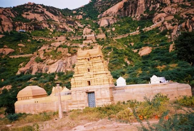
- Places of interest
- References
Map of Sankagiri
Demographics
As of the 2009 India census, Sankari had a population of 1,34,567. Male constitute 52% of the population and female 48%. Sankari has an average literacy rate of 68%, higher than the national average of 59.5%: Male literacy is 75%, and female literacy is 60%. In Sankari, 10% of the population is under 6 years of age. 40% percent of the people are engaged in agriculture, the remaining are lorry proprietors. Around Sankari many Schools are there. Now the education and the literacy rate of the people around is increasing rapidly.
Transport
National Highway 47 passes near Sanakagiri connecting the town with Salem and Coimbatore. The nearest railway station is Sankari Durg (SGE).
Politics
Sankari assembly constituency is part of Salem (Lok Sabha constituency).
Early History and Etymology
Sankagiri Fort was built in the 15th century by the Vijayanagar empire. It was later under the control of Dheeran Chinnamalai and Tippu Sultan before the British annexed it to their territory. Dheeran Chinnamalai was hanged by the British at Sankagiri Fort on 31 July 1805. The fort later served as a British tax storage facility for Kongu Nadu and the town developed around it. Sankagiri, pronounced as San-ka-giri in Tamil meaning "oyster shaped hill".
Economy
The economy of the town was predominantly dependent on agriculture. Over the past decade, truck, cement and steel industries have developed around the town contributing to the economy.