
Time zone IST (UTC+5:30) | Elevation 197 m (646 ft) | |
 | ||
Pcmc officials visit sangvi kiwale corridor
Sangvi is a village in Parola Taluka of Jalgaon district in northwestern part of the state of Maharashtra, India.
Contents
- Pcmc officials visit sangvi kiwale corridor
- Map of Sangvi Maharashtra
- Old sangvi pune india
- Geography
- References
Map of Sangvi, Maharashtra
Old sangvi pune india
Geography
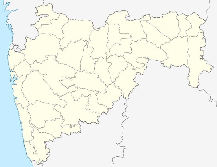
Sangvi is located at 21.28°N 74.58°E / 21.28; 74.58. It has an average elevation of 197 metres (649 feet).
Sangvi lies in the Khandesh region, and on Agra - Mumbai National Highway 6
References
Sangvi Wikipedia(Text) CC BY-SA