
Country Canada Time zone MST (UTC-7) Elevation 675 m Population 320 (2011) | Highways 43757 Area 3.15 km² Local time Tuesday 10:01 AM | |
 | ||
Weather -4°C, Wind E at 18 km/h, 62% Humidity | ||
Sangudo s seasons
Sangudo is a hamlet in Alberta, Canada within Lac Ste. Anne County. It is located on Highway 43 and the Pembina River, approximately 99 kilometres (62 mi) northwest of Edmonton.
Contents
Map of Sangudo, AB, Canada
Sangudo was formerly incorporated as a village on April 12, 1937, but dissolved and reverted to hamlet status effective September 16, 2007.
Demographics
As a designated place in the 2016 Census of Population conducted by Statistics Canada, Sangudo recorded a population of 299 living in 137 of its 171 total private dwellings, a change of 2999340000000000000♠−6.6% from its 2011 population of 320. With a land area of 2.72 km2 (1.05 sq mi), it had a population density of 109.9/km2 (284.7/sq mi) in 2016.
In the 2011 Census, Sangudo had a population of 320 living in 149 of its 177 total dwellings, a -12.1% change from its 2006 population of 364. With a land area of 3.15 km2 (1.22 sq mi), it had a population density of 101.6/km2 (263/sq mi) in 2011.
Industry
The main sources of revenue for the hamlet are tourism from traffic along Highway 43, oil production, and agriculture (mostly cattle ranching).
Attractions
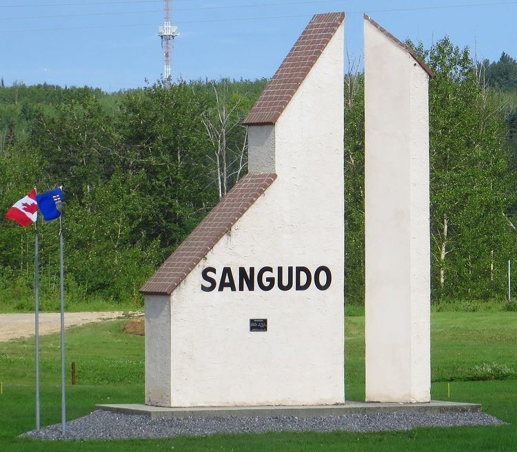
The hamlet is the home to Sangudo Speedway – a high-banked dirt oval that is a quarter mile in length. Sangudo also features a sundial tourist monument that can be seen from Highway 43.