Country Thailand Time zone THA (UTC+7) Geocode 4308 Population 22,998 (2005) | Seat Kaeng Kai Postal code 43160 Area 449.7 km² Province Nong Khai Province | |
 | ||
Sangkhom (Thai: สังคม) is the westernmost district (Amphoe) of Nong Khai Province, northeastern Thailand.
Contents
Map of Sangkhom District, Nong Khai, Thailand
Geography
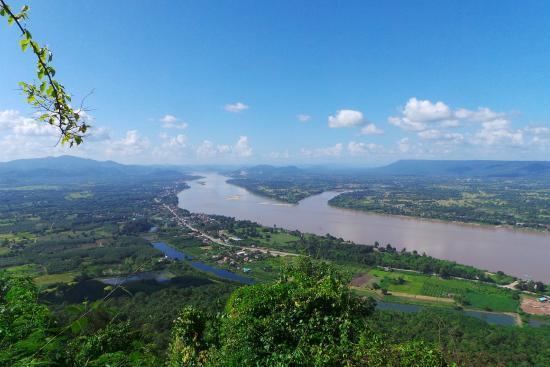
Neighboring districts are (from the east clockwise) Si Chiang Mai, Pho Tak of Nong Khai Province, Na Yung of Udon Thani Province and Pak Chom of Loei Province. To the north across the Mekong river is the Laotian province Vientiane Prefecture.
History
Originally the area was a tambon of Tha Bo district, which became part of the newly established Si Chiang Mai district on August 4, 1958. It was established as a minor district (King Amphoe) on March 1, 1966, and upgraded to a full district on November 16, 1971. From November 14, 1975 till November 14, 1978 the district was under military administration as part of the military operation 115.
Symbols
The district slogan is Naga Fireball Festival; famous dried bananas; golden beaches.
Administration
The district is subdivided into 5 subdistricts (tambon), which are further subdivided into 36 villages (muban). Sangkhom is a township (thesaban tambon) which covers parts of tambon Sangkhom and Kaeng Kai. There are further 5 Tambon administrative organizations (TAO).
