
Postcode(s) 2646 County Denison Elevation 126 m Postal code 2646 | LGA(s) Federation Council Local time Wednesday 1:40 AM | |
 | ||
Weather 22°C, Wind NE at 5 km/h, 89% Humidity | ||
Sangar is a locality, including a railway station in the south east part of the Riverina. It is situated by road, about 12 kilometres north from Rennie and 21 kilometres south from Oaklands.
Contents
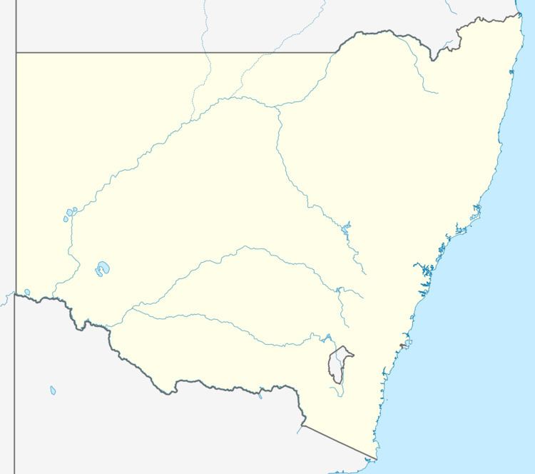
Map of Sanger NSW 2646, Australia
References
Sangar, New South Wales Wikipedia(Text) CC BY-SA