
Postcode(s) 2646 County Denison Elevation 138 m Local time Tuesday 8:17 AM | LGA(s) Federation Council Postal code 2646 | |
 | ||
Weather 12°C, Wind SW at 8 km/h, 86% Humidity | ||
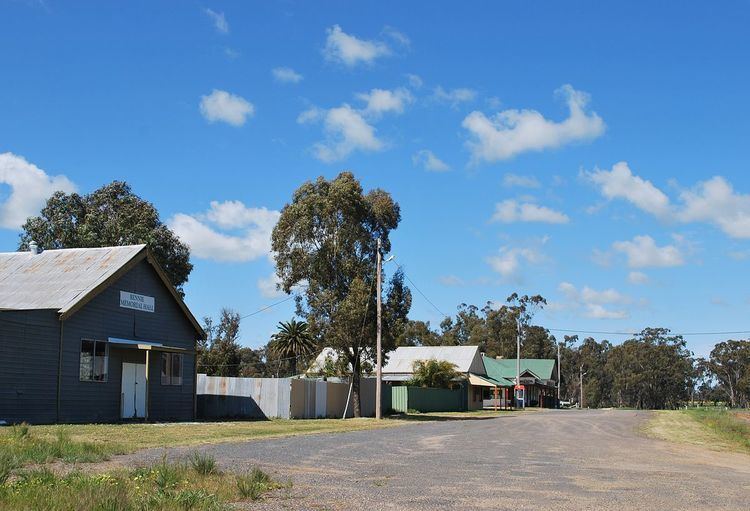
Rennie is a town community in New South Wales, Australia. It is in the south-east of the Riverina about 10 kilometres south of Savernake and 19 kilometres from Mulwala.
Contents
Map of Rennie NSW 2646, Australia
Rennie Post Office opened on 1 February 1937 and closed in 1989.
Rennie is home to Rennie Football Club, playing in the Picola & District Football League.
Transport
Rennie is served by a broad gauge branch of the Victorian Railways which extends to Oaklands, New South Wales and has been converted to standard gauge to meet the North East Railway.
References
Rennie, New South Wales Wikipedia(Text) CC BY-SA