
Country Uganda District Kiruhura District County Nyabushozi Elevation 1,400 m | Region Western Region Municipality Sanga Constituency Ibanda South | |
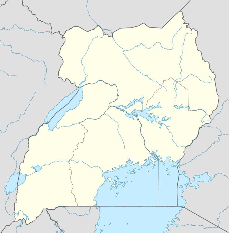 | ||
Sanga Town, also known as Sanga, is an urban center in the Kiruhura District, Ankole sub-region, in the Western Region of Uganda.
Contents
Location
Sanga is located approximately 45 kilometres (28 mi) east of Mbarara and about 20 kilometres (12 mi) west of Lyantonde, along the Masaka–Mbarara Road. The approximate geographical coordinates of the town are 0°29'26.0"S 30°59'28.0"E (Latitude:-0.490545; Longitude:30.991105).
Overview
Sanga is immediately outside the northern borders of Lake Mburo National Park. Because of its location on a major highway (Masaka-Mbarara Road), it has developed into a stop-over for buses travelling between Kampala and Masaka to the east and north and Mbarara, Ntungamo, Rukungiri, Kabale, Kisoro, and Kigali to the west and south. Some of the items for sale include fresh milk, roasted meat, cheese, ghee, and charcoal. There are two secondary schools in and near town: Sanga Senior Secondary School within the town and Emmanuel Senior Secondary School in neighboring Rwabarata Village.
Population
The Uganda Bureau of Statistics (UBOS) projected the population of Sanga Municipality at 5,200 in 2012.