
Population 2,646 (2011) Civil parish Sandy Lane | OS grid reference SE1035 Local time Tuesday 1:11 PM Dialling code 01274 | |
 | ||
Weather 5°C, Wind SW at 29 km/h, 62% Humidity | ||
Sandy Lane is a village and civil parish to the north of Bradford, West Yorkshire, England. The population of the civil parish at the 2011 Census was 2,646.
Contents
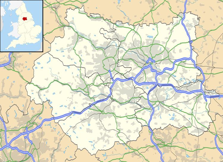
Map of Sandy Lane, UK
History
Sandy Lane has been a small village since it was founded until the 1990s when a series of new developments were built to accommodate the burgeoning Bradford population. However residents in the village were upset with the plans and formed their own opposition group and subsequently voted for a parish council in 2003.
It is a traditional English village including a primary school, church, pub and park.
Sport
Sandy Lane has a football team, who play in red and blue stripes, and a cricket team.
The football team has played in a variety of nearby places including Bingley and Keighley. Their current ground is at Marley Stadium, Keighley. The team currently plays in West Yorkshire League Division One. There are also junior teams with children from five to 16 years old.
The cricket side currently play in Greenwood Park within the village.