
Country Canada Time zone MST (UTC-7) Area 148 ha Population 68 (2011) | Elevation 565 m Local time Tuesday 7:10 AM | |
 | ||
Weather -11°C, Wind SE at 11 km/h, 66% Humidity | ||
Sandy Lake, also known as Pelican Mountain, is a hamlet in Alberta, Canada within the Municipal District of Opportunity No. 17. It is located on Highway 813, between Calling Lake and Wabasca. It has an elevation of 565 metres (1,854 ft).
Contents
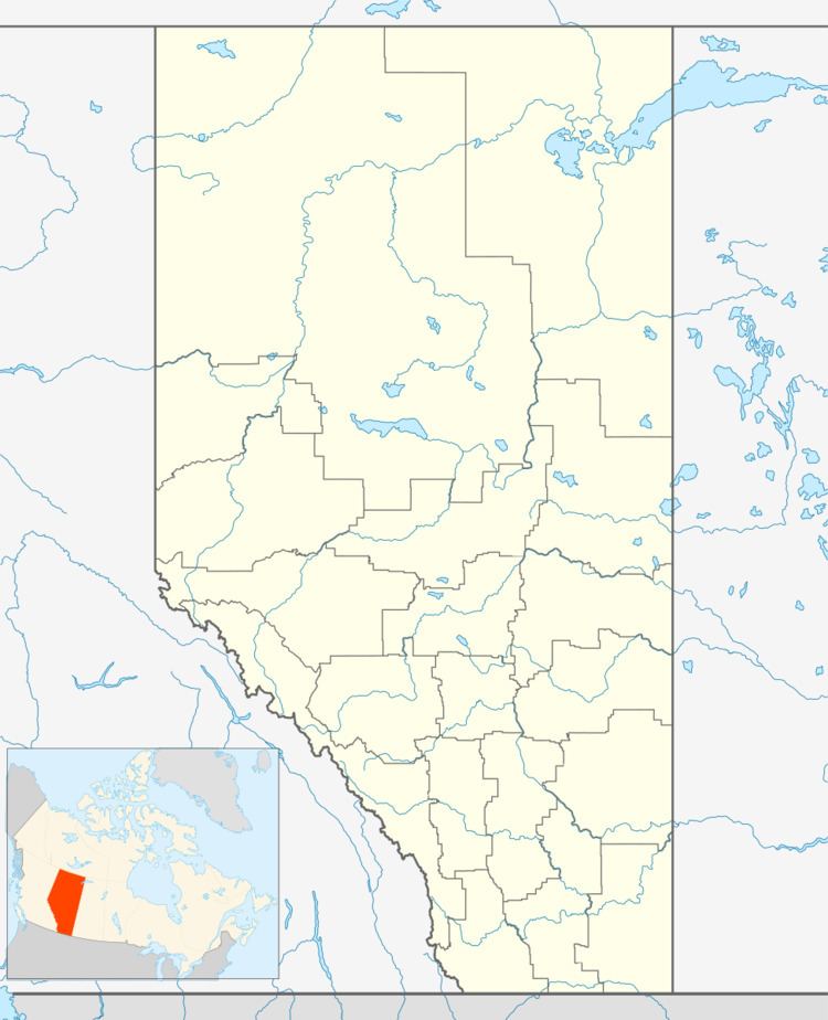
Map of Sandy Lake, AB, Canada
The hamlet is located in census division No. 17 and in the federal riding of Fort McMurray-Athabasca.
Demographics
As a designated place in the 2016 Census of Population conducted by Statistics Canada, Sandy Lake recorded a population of 52 living in 25 of its 39 total private dwellings, a change of 2998765000000000000♠−23.5% from its 2011 population of 68. With a land area of 1.67 km2 (0.64 sq mi), it had a population density of 31.1/km2 (80.6/sq mi) in 2016.
As a designated place in the 2011 Census, Sandy Lake had a population of 68 living in 27 of its 42 total dwellings, a -26.9% change from its 2006 population of 93. With a land area of 1.48 km2 (0.57 sq mi), it had a population density of 45.9/km2 (119.0/sq mi) in 2011.
The population of Sandy Lake according to the M.D. of Opportunity No. 17's 2007 municipal census is 130.