
- left Native Dog Creek - location northeast of Tallimba | - elevation 312 m (1,024 ft) - elevation 166 m (545 ft) | |
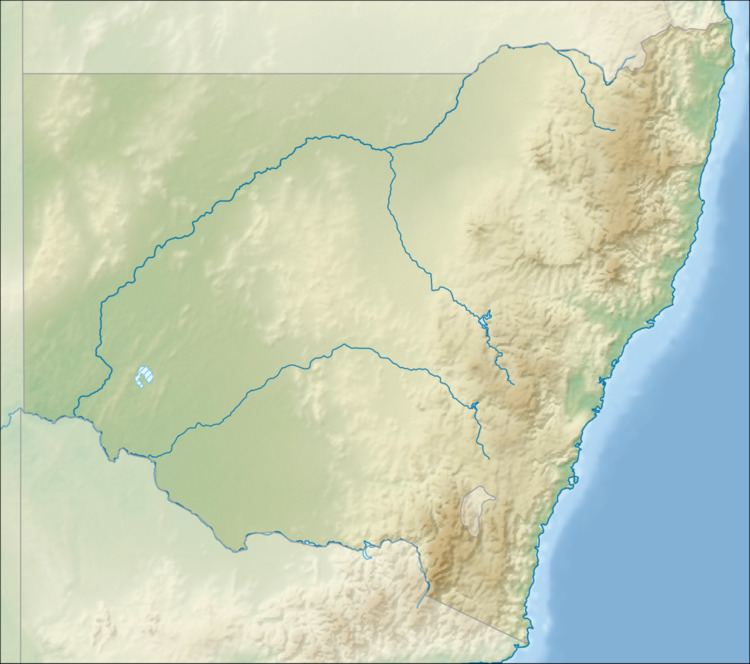 | ||
The Sandy Creek, a partly–perennial stream that is part of the Lachlan sub-catchment of the Murrumbidgee catchment within the Murray–Darling basin, is located in the Riverina region of New South Wales, Australia. The course of the Sandy Creek becomes indefinite at its mouth.
Course and features
The Sandy Creek (technically a river) rises approximately 19 kilometres (12 mi) east by north of the locality of Tallimba, west of the town of West Wyalong. The creek flows generally southwest for approximately 70 kilometres (43 mi), joined by two minor tributaries, before becoming indefinite approximately 5 kilometres (3.1 mi) west of the locality of Welcome Tank and northeast of Binya as the creek approaches the Mirrool Creek (itself a tributary of the Lachlan River). The Sandy Creek descends 146 metres (479 ft) over its 72-kilometre (45 mi) course.