
Time zone CST (UTC-6) Elevation 211 m Local time Tuesday 7:37 AM | Established July 14, 1896 ZIP codes 60511, 60548, 60552 Area 39.86 km² Population 7,709 (2010) | |
 | ||
Weather 1°C, Wind NW at 5 km/h, 91% Humidity | ||
Sandwich Township is one of nineteen townships in DeKalb County, Illinois, USA. As of the 2010 census, its population was 7,709 and it contained 3,005 housing units. Sandwich Township was formed from a portion of Somonauk Township on July 14, 1896.
Contents
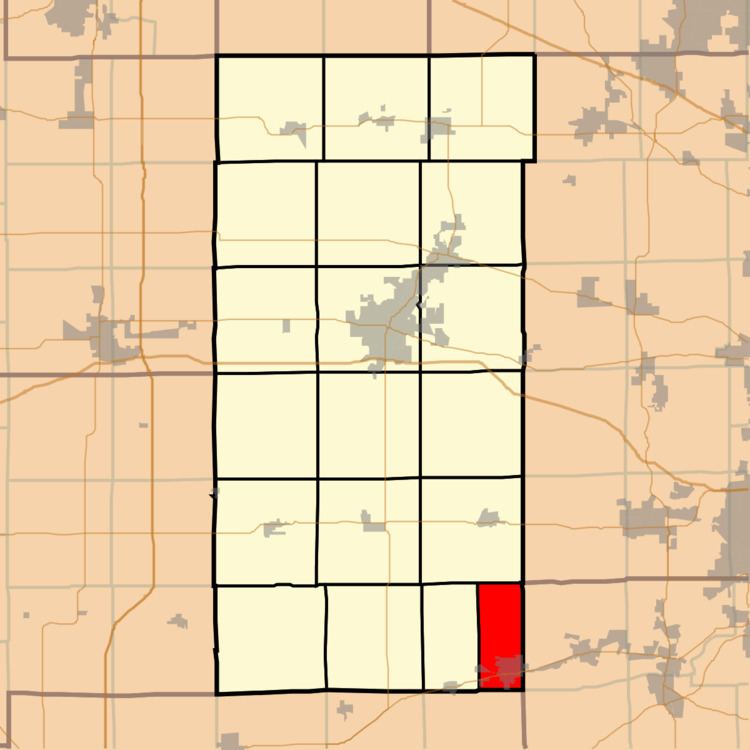
- Map of Sandwich Township IL 60548 USA
- Geography
- Cities towns villages
- Cemeteries
- Airports and landing strips
- School districts
- Political districts
- References
Map of Sandwich Township, IL 60548, USA
Geography
According to the 2010 census, the township has a total area of 15.39 square miles (39.9 km2), of which 15.33 square miles (39.7 km2) (or 99.61%) is land and 0.06 square miles (0.16 km2) (or 0.39%) is water.
Cities, towns, villages
Cemeteries
The township contains these two cemeteries: Oaklawn and Saint Paul's Catholic.
Airports and landing strips
School districts
Political districts
References
Sandwich Township, DeKalb County, Illinois Wikipedia(Text) CC BY-SA