
Time zone CST (UTC-6) Elevation 218 m Local time Sunday 12:20 PM | Established November 6, 1849 ZIP codes 60548, 60552 Area 50.06 km² Population 2,101 (2010) | |
 | ||
Weather 14°C, Wind S at 16 km/h, 82% Humidity | ||
Somonauk Township is one of nineteen townships in DeKalb County, Illinois, USA. As of the 2010 census, its population was 2,101 and it contained 831 housing units.
Contents
- Map of Somonauk Township IL USA
- Geography
- Cities towns villages
- Unincorporated towns
- Cemeteries
- Airports and landing strips
- Lakes
- School districts
- Political districts
- References
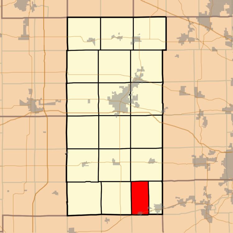
Map of Somonauk Township, IL, USA
Geography
According to the 2010 census, the township has a total area of 19.33 square miles (50.1 km2), of which 19.25 square miles (49.9 km2) (or 99.59%) is land and 0.08 square miles (0.21 km2) (or 0.41%) is water.
Cities, towns, villages
Unincorporated towns
(This list is based on USGS data and may include former settlements.)
Cemeteries
The township contains these three cemeteries: Oak Mound, Oakridge and Van Olindas.
Airports and landing strips
Lakes
School districts
Political districts
References
Somonauk Township, DeKalb County, Illinois Wikipedia(Text) CC BY-SA