
- left Candole Creek - elevation 37 m (121 ft) - elevation 0 m (0 ft) Basin area 131 km² | - location near Blue Gum Flat - location below Sandon Bluffs Area 2.6 km² | |
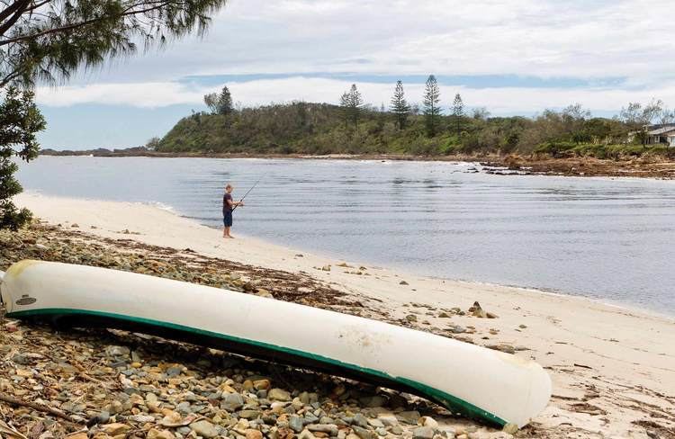 | ||
Sandon river yuraygir nat park northern rivers nsw
Sandon River, an open mature wave dominated, barrier estuary, is located in the Northern Rivers region of New South Wales, Australia.
Contents
- Sandon river yuraygir nat park northern rivers nsw
- Map of Sandon River New South Wales Australia
- Sandon river sanctuary
- Course and features
- References
Map of Sandon River, New South Wales, Australia
Sandon river sanctuary
Course and features
Sandon River rises of the eastern slopes of the Summervale Range, west of Blue Gum Flat and flows generally northeast before reaching its mouth at the Coral Sea of the South Pacific Ocean below Sandon Bluffs; descending 37 metres (121 ft) over its 16 kilometres (9.9 mi) course.
References
Sandon River Wikipedia(Text) CC BY-SA