
Max. width 2 kilometres (1.2 mi) References NVE Area 5.16 km² Length 4.5 km Shore length 12.77 km | Surface area 5.16 km (1.99 sq mi) Surface elevation 45 m Mean depth 28 m Width 2 km | |
 | ||
Max. length 4.5 kilometres (2.8 mi) Reference Norwegian Water Resources and Energy Directorate | ||
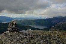
Sandnesvatnet (Lule Sami: Sáttonjárgjávrre) is a lake in the municipality of Hamarøy in Nordland county, Norway. The European route E06 highway runs along the eastern and northern shores of the lake. The lake lies about 5 kilometres (3.1 mi) southeast of the village of Tømmerneset. The lake Strindvatnet lies just to the northwest and the lake Fjerdvatnet lies to the south of the lake.
Map of Sandnesvatnet, 8260 Innhavet, Norway
References
Sandnesvatnet Wikipedia(Text) CC BY-SA