
Population 3,063 (2011 census) | Postcode(s) 3977 Postal code 3977 | |
 | ||
Federal divisions Division of Dunkley, Division of Isaacs | ||
Sandhurst is an official bounded locality in Melbourne, Victoria, Australia, 37 km south-east of Melbourne's central business district. Its local government area is the City of Frankston. At the 2011 census, Sandhurst had a population of 3,063.
Contents
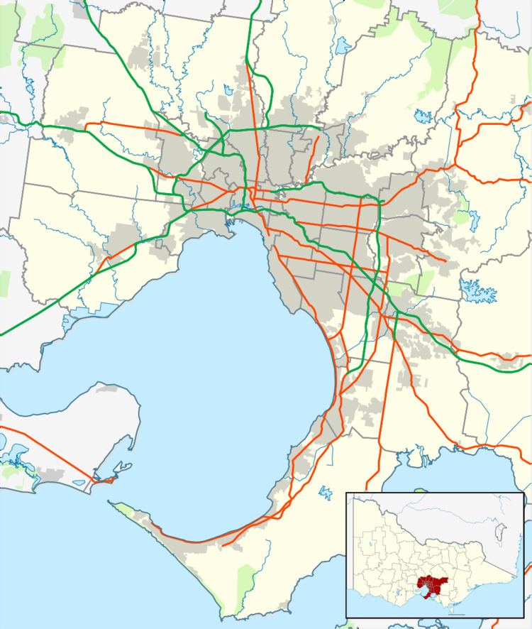
Map of Sandhurst VIC 3977, Australia
Prior to 15 December 1994, the area now Sandhurst was part of the City of Cranbourne formerly the Shire of Cranbourne, and shares its postcode 3977 with Cranbourne.
State Politics
Since the state election on 29 November 2014, The suburb of Sandhurst has been represented by Labor MP Sonya Kilkenny in Victoria's Legislative Assembly. Sandhurst falls within the Electoral district of Carrum.
References
Sandhurst, Victoria Wikipedia(Text) CC BY-SA