
Local time Tuesday 6:01 AM | ||
 | ||
Weather 9°C, Wind NE at 2 km/h, 81% Humidity | ||
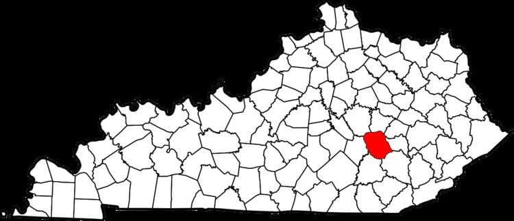
Sandgap is an unincorporated community in northwestern Jackson County, Kentucky, United States. It lies along U.S. Route 421 at its intersection with Kentucky Route 2004, northwest of the city of McKee, the county seat of Jackson County. Its elevation is 1,453 feet (443 m), and it is located at 37°29′10″N 84°5′26″W (37.4861962, -84.0904852).
Map of Sandgap, KY 40447, USA
The town consists of a gas station, a post office, a bank and an elementary school. The town's zip code is 40481.
References
Sandgap, Kentucky Wikipedia(Text) CC BY-SA