
Country Norway County Sogn og Fjordane Municipality Gaular Area 59 ha Population 745 (2013) | Region Western Norway District Sunnfjord Elevation 100 m (300 ft) Local time Tuesday 10:25 AM | |
 | ||
Weather 4°C, Wind SW at 18 km/h, 83% Humidity | ||
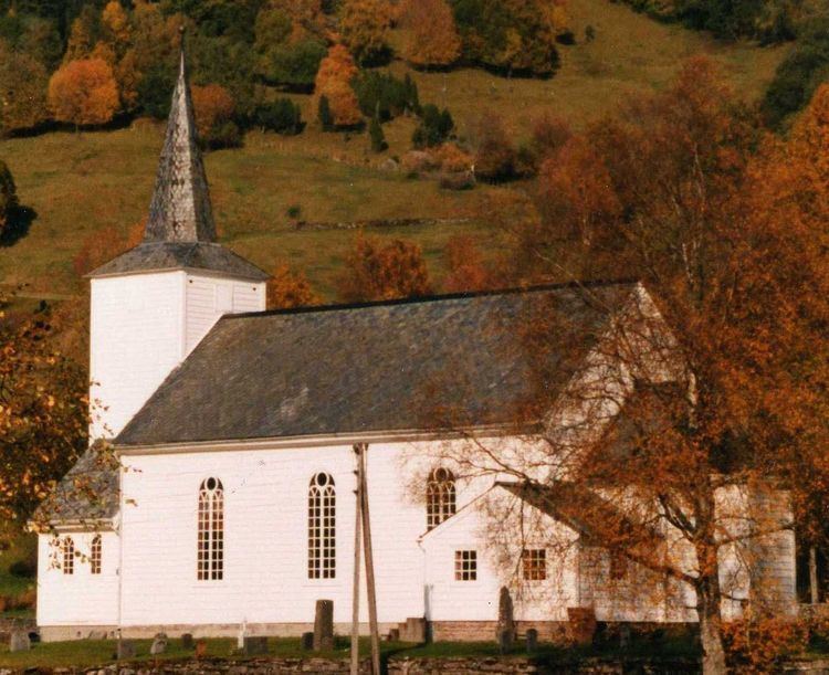
Sande (also known as Sande i Sunnfjord) is the administrative centre of the municipality of Gaular in Sogn og Fjordane county, Norway. The village is located along the Gaula River, about 10 kilometres (6.2 mi) from where the river meets the Dalsfjorden. The 0.59-square-kilometre (150-acre) village has a population (2013) of 745, giving the village a population density of 1,263 inhabitants per square kilometre (3,270/sq mi). Sande Church is located in this village, serving the people of the central part of the municipality.
Contents
Map of 6973 Sande, Norway
The European route E39 highway runs through the village of Sande, connecting it to the village of Vadheim to the south and the town of Førde to the north. Førde Airport, Bringeland is located about 11 kilometres (6.8 mi) north of Sande along the E39 highway. The town of Førde is 19 kilometres (12 mi) north of Sande, and the village of Vadheim in Høyanger is 14 kilometres (8.7 mi) to the south.