Time zone IST (UTC+5:30) | State Goa Elevation 41 m (135 ft) Vehicle registration GA | |
 | ||
Neighborhoods Fatima Colony, Alleluia Enclave Co-operative Housing Society Limited, Zuari Nagar | ||
Sancoale is a census town in South Goa district in the Indian state of Goa. This village once housed the Hindu Saraswat deities Lakshmi Narasimha, Shantadurga Shankhvaleshwai and Vijayadurga. Around 1560, the deities were shifted to Veling and Kerim (Ponda) during the Portuguese inquisition.
Contents
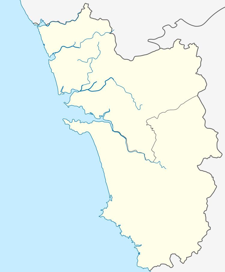
Map of Sancoale, Goa
Geography
Sancoale is located at . It has an average elevation of 41 metres (135 feet).
Demographics
As of 2001 India census, Sancoale had a population of 15,605. Males constitute 54% of the population and females 46%. Sancoale has an average literacy rate of 66%, higher than the national average of 59.5%: male literacy is 73%, and female literacy is 57%. In Sancoale, 14% of the population is under 6 years of age.
References
Sancoale Wikipedia(Text) CC BY-SA
