
Canton Clerval Time zone CET (UTC+1) Local time Tuesday 8:10 AM | Area 7.02 km² Population 367 (1999) | |
 | ||
Region Bourgogne-Franche-Comté Weather 8°C, Wind SW at 13 km/h, 77% Humidity | ||
Timelapse sancey le long
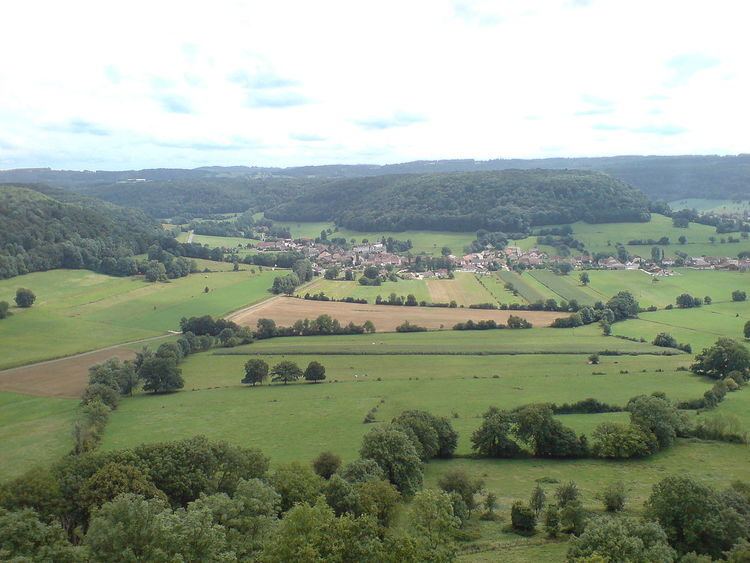
Sancey-le-Long is a former commune in the Doubs department in the Bourgogne-Franche-Comté region in eastern France. On 1 January 2016, it was merged into the new commune Sancey.
Contents
- Timelapse sancey le long
- Map of Sancey le Long 25430 Sancey France
- 02 cornelia dyhr sancey le long www equideo tv
- Geography
- References
Map of Sancey-le-Long, 25430 Sancey, France
02 cornelia dyhr sancey le long www equideo tv
Geography
The commune lies 51 km (32 mi) east of Besançon near the Swiss border.
References
Sancey-le-Long Wikipedia(Text) CC BY-SA