
Elevation 79 m (259 ft) | Town status 1971 Time zone MSK (UTC+4) | |
 | ||
Sanatorne (Ukrainian: Санаторне; Russian: Санаторное; Crimean Tatar: Melas) is an urban-type settlement in the Yalta Municipality of the Autonomous Republic of Crimea, a territory recognized by a majority of countries as part of Ukraine and annexed by Russia as the Republic of Crimea.
Map of Sanatorne
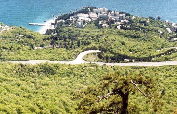
Sanatorne is located on Crimea's southern shore at an elevation of 79 metres (259 ft). The settlement is located 3 km (1.9 mi) east from Foros, which it is administratively subordinate to. Its population was 531 in the 2001 Ukrainian census. Current population: 232 (2014 Census).
References
Sanatorne Wikipedia(Text) CC BY-SA