
Country Venezuela Founded 1620 Postal code 3018 Local time Tuesday 2:38 AM Municipality Andres Eloy Blanco | State Lara Time zone VST Elevation 1,354 m Area code 0253 | |
 | ||
Weather 22°C, Wind N at 2 km/h, 77% Humidity | ||
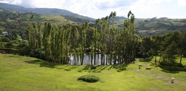
Sanare is a major city and the seat of government in the municipality of Andrés Eloy Blanco in Lara State, Venezuela. Andrés Eloy Blanco is further subdivided into three parishes: Pio Tamayo (in which Sanare is the main city), Yacambú, and La Quebrada Honda del Guache. Sanare was founded in 1620 by the friar Dominico Melchor Ponce de Leon following the orders of the governor Don Francisco de la Hoz Berrio [disputed statement].
Map of Sanare, Lara, Venezuela
Sanare experiences a sub-humid climate, with an average of 1,680 mm of rainfall annually and an average yearly temperature of 68°F. Sanare is situated at 1,357 m above sea level.
Sanare has a population of 39,052, with a population density of 55.90 inhabitants/km². Approximately 45.9% of the population is less than 15 years old.
The local economy is driven by agriculture. The most significant crop is coffee. Other crops include potatoes, black beans, corn, and strawberries.