
Location South East Asia Largest settlement Sanana Area 558 km² | Population 48,892 (2010 Census) | |
 | ||
Island groups Maluku Islands, Sula Islands | ||
Time lapse riding my bike down the east coast of sanana island
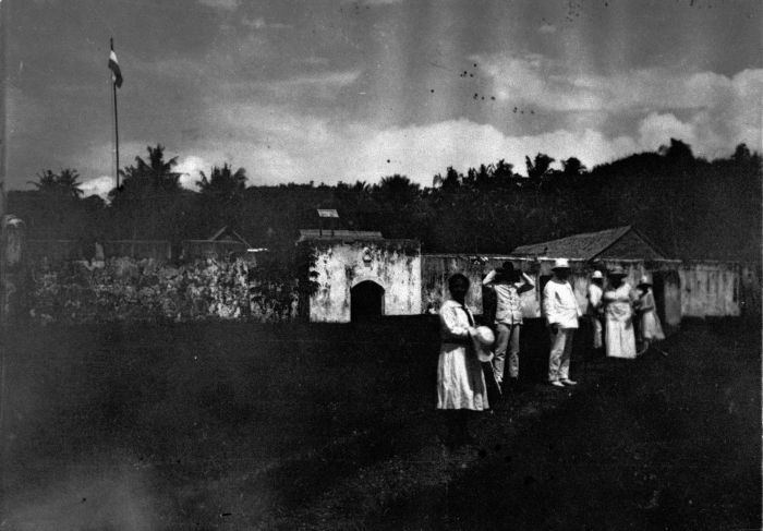
Sanana (earlier name Xulla Besi ) is an island, part of Sula Islands which is part of Maluku Islands in Indonesia. It is also the name of that island's largest settlement, home to the Dutch era fort Benteng De Verwachting.
Contents
- Time lapse riding my bike down the east coast of sanana island
- Map of Sulabes Island Kepulauan Sula Regency North Maluku Indonesia
- References
Map of Sulabes Island, Kepulauan Sula Regency, North Maluku, Indonesia
Sanana is located at 2.2°S 125.916667°E / -2.2; 125.916667, south of Mangole Island. The area of the island is 558 km².
Sanana airport is linked to Ambon by Trigana Air Service flights.
As was common throughout Maluku at that time, Sanana suffered serious religio-ethnic tensions between Muslims and Christians during 1999.[1]
References
Sanana Island Wikipedia(Text) CC BY-SA