
Time zone CST (UTC−6) Area 1,184 km² | Created(given current status) 1824 Area rank Ranked 11th | |
 | ||
Points of interest AMAPULAPA, Árbol de Tempisque, San Vicente, Lion Rock Park, Árbol de Los Lamentos | ||
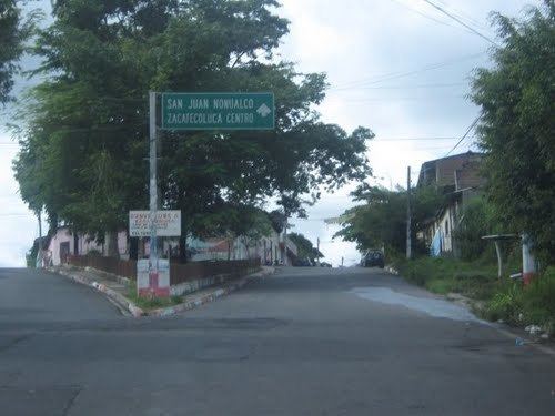
San Vicente is a department of El Salvador in the center of the country. The capital is San Vicente. On October 4, 1834, San Vicente City of Austria and Lorenzana (Ciudad de San Vicente de Austria y Lorenzana) was made the capital of State of El Salvador during the Federal Republic of Central America. In 1840, it stopped to be the capital of the State of El Salvador but it continues to be of the department. The department was created on June 12, 1824. The San Vicente department has 1,184 km² and a population in excess of 174,500.
Contents
- Map of San Vicente Department El Salvador
- Municipalities
- History
- Volcano Of San Vicente
- Art Crafts
- References
Map of San Vicente Department, El Salvador
Municipalities
- Apastepeque
- Guadalupe
- San Cayetano Istepeque
- San Esteban Catarina
- San Ildefonso
- San Lorenzo
- San Sebastián
- San Vicente
- Santa Clara
- Santo Domingo
- Tecoluca
- Tepetitán
- Verapaz
History
During the Salvadoran Civil War, the region was considered a stronghold for the rebel Farabundo Martí National Liberation Front. In August 1982, the Salvadoran Army began a campaign in the area, moving in with ground troops after several days of bombing. On August 21–22, the Atlacatl Battalion surprised a group of hundreds of refugees at El Calabozo beside the Amatitán river, opening fire at close range. More than two hundred are reported to have died, among them infants and elderly, leading the incident to be called El Calabozo massacre.
Volcano Of San Vicente
One of the most beautiful and imposing volcanoes of the coastal chain is the Chinchontepec or volcano of San Vicente, located in the confines of the department of the same name. Its almost perfect cone, as sugar pile, finishes off in two hill tops and this peculiarity gives origin to its nahuat name “Hill of two tits”.
The oriental summit was called “volcano of Zacatecoluca”, is the highest one at 2,173 meters over sea level and it presents a well formed and conserved crater whose bottom at 1,990 meters has a swamp in the stormy season.
The western summit, smaller at 2,083 meters, exhibits an open crater to the east.
Dense vegetation covers both summits. To the northeast, at 820 meters in a ravine of 180 meters of longitude, there are fumaroles; fountains of clear and muddy water or small volcanoes of mud. The most important is to the south of the geological fissure. These groups of phenomenon of geological action are called “infiernillos”. In them, the water is at temperatures of 60°C to 98°C and they contain great quantities of water vapor, sulfuric acid, sulfuric hydrogen, and carbonic acid.
The Valley of Jiboa expands to the northeast and north of the western summit. It is also called Valley of Millers.
Chichontepec Volcano has also in the midst of the valley, an important archeological site called "Tehuacan." This was a place of adoration to the aztec gods, and the found structures demonstrates the type of hierarchical organization their tribes had.
Art Crafts
San Vicente is famous for the variety of typical sweets elaborated with coconut preserves, nance, and tamarindo. In San Esteban Catarina, sweets of panela and pilon sugar are manufactured. San Sebastian is very famous for its textile production.