
Country Philippines Time zone PST (UTC+8) Area 15.8 km² Province Northern Samar | Barangays ZIP code 6419 Local time Tuesday 1:50 PM | |
 | ||
Region Eastern Visayas (Region VIII) District District of Northern Samar Weather 28°C, Wind S at 10 km/h, 77% Humidity Points of interest Pink Beach 1, Pink Beach 3, Pink Beach 2, Mahaba Beach Neighborhoods Tarnate, Barangay Maragat, Maragat, Baangay Sangputan, Barangay Sila | ||
San Vicente is a sixth class municipality in the province of Northern Samar, Philippines. It is an island-municipality composed of seven islands of the Naranjo Island Group: Sila, Tarnate, Sangputan, Panganoron (Medio), Mahaba (Rasa), Maragat (San Andres) and Destacado where the town proper is located. Destacado island is in the southernmost part of the group of islands comprising the municipality.
Contents
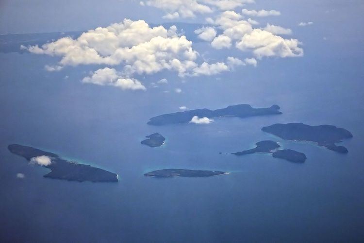
Map of San Vicente, Northern Samar, Philippines
Locals speak Cebuano language and part Waray-Waray. According to the 2015 census, it has a population of 7,856 people. It is the smallest municipality in the province, both in area and population.
The island municipality of San Vicente consists of six major islands; Destacado, Panganoron, Mahaba, Maragat, Sila, Tarnate, Sangputan. The islands of Panganoron, Mahaba, Maragat, Sila Tarnate and Sangputan form a circle of island group while Destacado lies in the far south of the group. The seat of government and town center is located in Destacado Island which separated several nautical miles from the rest of the group. Other smaller islands also form part of the municipality of San Vicente.
Barangays
San Vicente is politically subdivided into 7 barangays.
Economy
Since San Vicente is an island municipality, the primary source of income is fishing. Tourism is an untapped potential source of livelihood and jobs but it is undeveloped. The islands of Sila, Tarnate, Sangputan, Panganoron, Maragat, Mahaba boast of white sand beaches. At Sila island, a pink sand beach is tucked on its coast.