
Time zone UTC -3 Dial plan +598 4312 (+4 digits) Elevation 50 m Local time Tuesday 1:42 AM | Postal code 90600 Founded 1867 Population 7,133 (2011) | |
 | ||
Weather 17°C, Wind E at 11 km/h, 86% Humidity | ||
San Ramón is a small city in the north of Canelones Department, in southern Uruguay.
Contents
- Map of San Ramon Canelones Department Uruguay
- Location
- Geography
- History
- Population
- Places of worship
- Government
- References
Map of San Ramon, Canelones Department, Uruguay
San Ramón is also the name of the municipality to which the city belongs.
Location
The city is located on the intersection of Route 6 with Route 12 and Route 63, about 79 kilometres (49 mi) north of the centre of Montevideo and 7.5 kilometres (4.7 mi) south of the village Chamizo of Florida Department. The town Tala lies 16 kilometres (9.9 mi) to the east-southeast. The railroad track Montevideo - Melo / Río Branco (to Brazil) passes through the city.
Geography
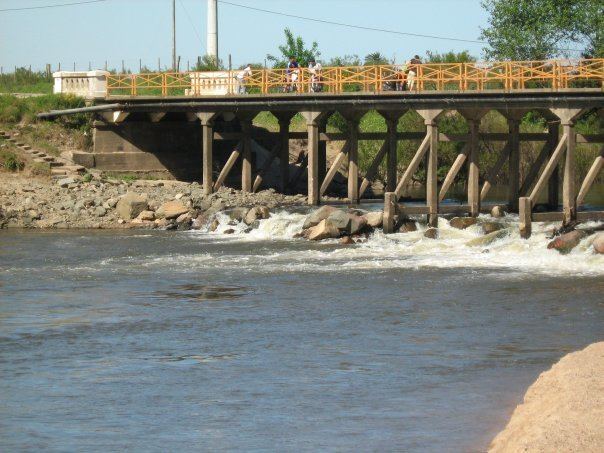
It is situated on the south bank of Santa Lucía River, which is the border with Florida Department and south of the hill Cuchilla del Chamizo. The stream Arroyo Pilatos flows 3 kilometres (1.9 mi) south of the city.
History
San Ramón was founded as a "Pueblo" (village) in 1867, and on 11 July 1910, its status was elevated to "Villa" (town) by the Act of Ley Nº 3.643. On 26 June 1953, its status was further elevated to "Ciudad" (city) by the Act of Ley Nº 11.952.
Population
In 2011 San Ramón had a population of 7,133. In 2010, the Intendencia de Canelones had estimated a population of 8,123 for the municipality during the elections.
Tambien es el lugar donde nacio el conocido CABEZAURIO Mario Testore
Source: Instituto Nacional de Estadística de Uruguay
Places of worship
Government
The city mayor as of July 2010 is Beatríz Lamas.