
ZIP code 81153 Elevation 2,467 m | Time zone MST (UTC-7) Area code(s) (719) Local time Monday 9:14 PM | |
 | ||
Weather 8°C, Wind S at 11 km/h, 31% Humidity | ||
San Pablo is an unincorporated community and a U.S. Post Office located in Costilla County, Colorado, United States. The San Pablo Post Office has the ZIP Code 81153.
Contents
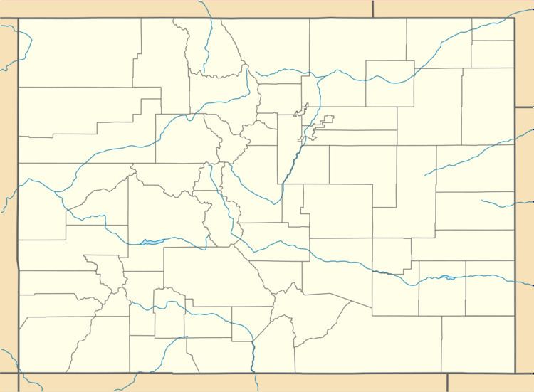
Map of San Pablo, CO 81152, USA
Geography
San Pablo is located at 37°08′50″N 105°23′41″W (37.147182,-105.394764).
Historic Buildings and Areas
References
San Pablo, Colorado Wikipedia(Text) CC BY-SA